The wildlife exemption in Bandera County
After the first year on wildlife management, someone from Bandera CAD comes out to the property. The district’s published wildlife-management guidelines make that first-year inspection mandatory, and its purpose is to verify that the practices written into the plan are being performed on the ground. BCAD also asks for a five-year wildlife-management plan, an annual wildlife update, and a map showing where each practice happens, with an updated application on the chief appraiser’s current five-year cycle.
If the tract was reduced in size since January 1 of the preceding tax year, BCAD’s guidelines set 20 qualifying acres for a standard wildlife-management tract, 12.5 acres inside a Wildlife Management Property Association, and 11.11 acres for the qualifying threatened, endangered or candidate-species category. If the tract is the same size or larger than it was a year earlier, that reduced-tract test does not apply, though the rest of the qualification rules still do.
Bandera is steep country. Rocky hills break into canyons, seasonal drainages run off them toward the Medina and Verde creek bottoms, springs surface where the limestone allows, and grass openings sit between oak and juniper mottes. On this ground the slope decides a great deal, and a treatment that suits a canyon face can be wasted in the creek bottom below it. Work those differences out before you fix practice locations on the property map BCAD asks for.
On the ground in Bandera County
Bandera still calls itself the Cowboy Capital, and the Medina River is why. Bandera County is classic Hill Country: steep limestone, Ashe juniper, live oak, rocky creeks and heavily browsed deer country. A wildlife exemption in Bandera County is usually a family place dropping a grazing lease - a tank in a draw, hogs in the bottoms, cedar on the hills. A strong wildlife plan usually benefits from creating a better mosaic - opening selected dense cedar to release native grasses and forbs while keeping thermal and escape cover, protecting creek corridors and documenting deer or turkey use.
Bandera County lies in the Edwards Plateau and is assigned to TPWD's Edwards Plateau (Eastern) wildlife-use appraisal region - the legal map that sets the reduced-tract acreage rule below.
Is there an acreage minimum in Bandera County?
Did the tract get smaller since January 1 of last year?
There is no wildlife acreage test in Bandera County at all. Whatever the size, file Comptroller Form 50‑129 with a PWD‑885 plan. A 7-acre tract that already carried 1‑d‑1 (ag exempt) and was never split can convert with no penalties.
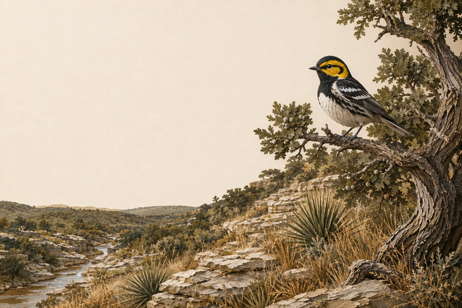
The Bandera County appraisal district has published its figure. The legal minimum land requirement is 20 acres (95%). Wildlife management property associations: 12.5 acres (92%). Land designated as habitat for a threatened, endangered or candidate species: 11.11 acres. In Bandera County that species is the golden-cheeked warbler. It nests nowhere on earth but central Texas, and only in mature Ashe juniper growing alongside oak - the tall, shaggy-barked cedar in steep canyon draws, not the young regrowth coming up in old pasture. Clearing that woodland is the surest way to lose both the habitat and the lower acreage figure that comes with it.
Source: Bandera Central Appraisal District 2024 Wildlife Management Guidelines, November 2024.
See how Bandera County compares: minimum acreage for all 254 Texas counties →
Bandera verifies the plan in the field
Bandera CAD’s published wildlife-management guidelines call for a five-year wildlife-management plan, an annual wildlife update, and a mandatory inspection after the first year to confirm the practices are being performed according to that plan. The chief appraiser currently requests an updated application on a five-year cycle.
The plan package also calls for a property map showing where the practices happen - feeders, food plots, water, trails, brush piles and burn areas where those apply - along with soil information and maps. Draw that map so it matches what an inspector will find walking the property, and keep it current as the work moves.
How it works here
Bandera County follows the statewide 1-d-1 framework (Texas Tax Code §23.51(7)); the local variables are your appraisal district's filing habits and the Edwards Plateau intensity standards:
- Start from an existing ag or timber valuation. Wildlife management is a conversion of qualified open-space land - check eligibility if your status is unclear.
- File a wildlife management plan (TPWD form PWD‑885) with the Bandera County appraisal district, attached to Comptroller Form 50‑129, between January 1 and April 30. What goes in the plan →
- Perform at least 3 of the 7 practices each year at Edwards Plateau intensity levels - see the local examples below.
- Document everything - dates, photos, quantities. When the chief appraiser requests an annual report (PWD‑888), you'll answer with records, not recollections.
- No minimum acreage applies unless your tract got smaller since January 1 of last year. If it did, Bandera County's figure is covered above - the district picks one number for the whole county, and the plan is still the application either way.
The 7 practices in Bandera County
These are the kinds of activities appraisal districts in the Edwards Plateau recognize as real management - your plan picks at least three. The Edwards Plateau region guide covers the species, habitat problems and intensity standards behind them.
Choose any 3 of the 7 qualifying practices. The highlighted practices are commonly recommended in this county, but the right combination depends on the property and management goals.
