The rule in one line
Texas Tax Code §23.51(7) defines wildlife management as actively using land - through at least three of the seven practices below - to propagate a sustaining breeding, migrating, or wintering population of indigenous wild animals for human use. TPWD’s regional guidelines set the intensity that makes each practice real for your ecoregion; your county page summarizes them locally.
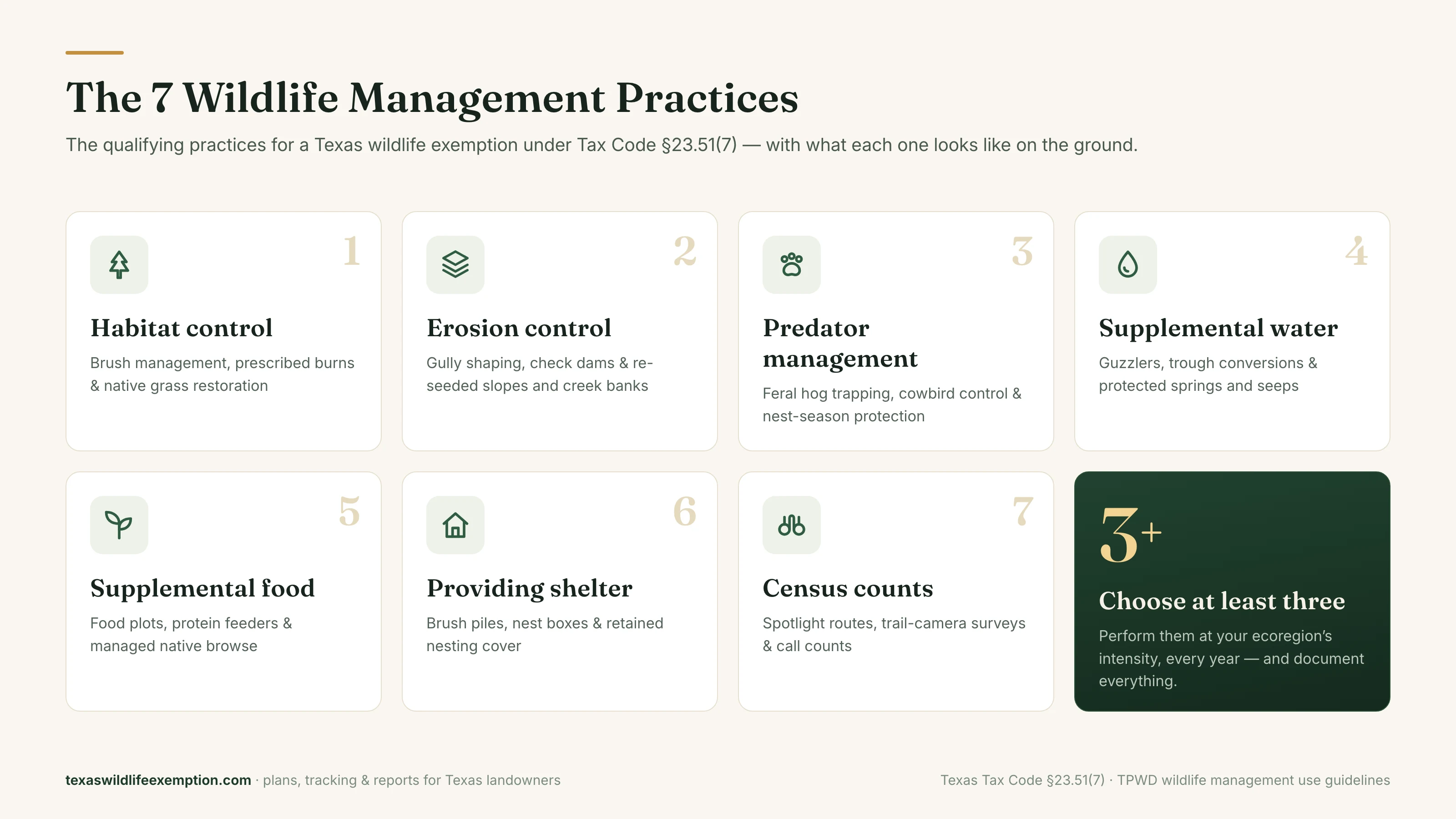
1. Habitat control (habitat management)
Shaping the plant communities wildlife depend on - usually the highest-impact practice on degraded Texas rangeland.
- Hill Country: selective ashe juniper (cedar) removal to release native grasses and oak regeneration
- Pineywoods: thinning pine stands and creating 1–5 acre forest openings for browse and brood habitat
- South Texas: strip/mosaic brush sculpting that keeps 40–60% thornscrub canopy
- Blacklands & prairies: native grass re-establishment, invasive control (KR bluestem, johnsongrass), prescribed burns
Documentation that counts: acres treated per year, before/after photos, burn plans, seed invoices, contractor receipts.
2. Erosion control
Keeping soil in place so habitat can hold - banks, draws, and bare slopes are the workload.
- Gully shaping and re-seeding with natives; brush berms and check dams in drainages
- Streamside/riparian buffers and pond-dam repair with erosion-control seeding
- Water bars on ranch roads; re-vegetating pads, senderos, and blowouts
Documentation that counts: sites treated with locations and photos, structures built, acres re-seeded, dates of work.
3. Predator control
Controlling the predators and nest raiders that suppress your target species - in Texas, priority one is almost always feral hogs.
- Feral hog trapping (corral or box traps) with removal counts
- Brown-headed cowbird trapping to protect nesting songbirds
- Targeted coyote/raccoon/skunk control around fawning and nesting seasons; fire ant management in quail country
Documentation that counts: trap-nights, removal tallies by species and date, photos of sets - a simple, powerful log.
4. Providing supplemental water
Reliable water is the most limiting habitat factor across most of Texas; providing it deliberately is a practice.
- Wildlife guzzlers (rain-catch waterers) on dry uplands
- Converting livestock troughs with wildlife ramps and overflow drips
- Managing tanks with shallow edges; protecting springs and seeps; windmill/solar conversions with storage
Documentation that counts: stations installed and maintained with inspection dates and photos; spacing that meets your regional standard.
5. Providing supplemental food
Filling seasonal nutrition gaps beyond what habitat currently provides.
- Protein or corn feeding programs sized to your deer density
- Cool-season food plots (oats/wheat/clover) and warm-season plots (lablab, cowpeas) where rain allows
- Strip-disking for native forbs; half-cutting mesquite for browse; managing mast trees
Documentation that counts: feeder count and fill dates with pounds, plot acreage and planting dates, seed/feed receipts.
6. Providing shelter
Creating the cover animals need to nest, escape, and survive weather.
- Brush piles from cleared cedar/mesquite (instant rabbit and quail cover)
- Nest boxes for bluebirds, wood ducks, or bats; half-cut “covey headquarters” in quail country
- Retaining roost trees, thickets, and tall-grass nesting cover at documented heights
Documentation that counts: structures built/installed with locations and photos; cover areas retained and measured.
7. Making census counts
Measuring populations so management responds to reality - and proving your program works.
- Fall spotlight surveys on fixed routes; daylight herd counts
- Trail-camera surveys (a camera per ~100 acres, 10–14 days) with population estimates
- Spring gobbler counts, quail covey call counts, dove/songbird point counts; harvest logs with age and weights
Documentation that counts: survey dates, routes/protocols, raw counts and estimates - appraisers love a census table with a trend line.
Choosing your three (or four)
Run three practices well rather than five thinly. Pair one infrastructure practice (water, food, shelter - easy to document monthly), one land practice (habitat or erosion - a project or two a year), and census (one good survey season). Add predator management the moment hogs find you; they will.
Intensity is the part people miss
Each ecoregion’s guidelines say how much counts - feeder densities, waterer spacing, acres treated, survey effort. The app bakes those standards into your plan and your task calendar, so “enough” is never a guess. See it work →
Sources & further reading
- Texas Tax Code §23.51 - the statute defining wildlife management as agricultural use
- TPWD: Agricultural Tax Appraisal Based on Wildlife Management Use - the state hub for wildlife-use valuation, including the regional Comprehensive Wildlife Management Planning Guidelines
- TPWD: Private Lands Publications & Forms - every current TPWD form and regional guideline book
- Comptroller: Agricultural & Timber Appraisal - current manuals and wildlife-use qualification guidelines
