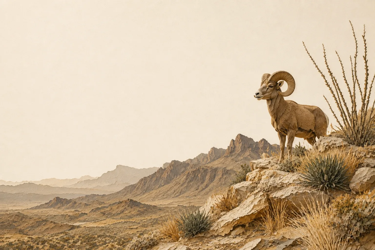
The Trans-Pecos on the ground
The Trans-Pecos is Texas at its biggest: Chihuahuan Desert basins, sky-island mountain ranges, and desert grasslands running to the Rio Grande. Properties are measured in sections, water is the limiting factor for nearly all wildlife, and management plans here revolve around water development, desert grassland recovery, and pronghorn and mule deer habitat.
Desert mule deer are the marquee species across the Trans-Pecos, with pronghorn on the grassland flats; a single well-placed water development can anchor an entire year’s practice log in this country. Typical target species for plans in this region include mule deer, pronghorn, desert bighorn sheep, scaled quail, Gambel’s quail, and golden eagles.
What limits wildlife here
A wildlife management plan is most convincing when it takes on the problems that actually constrain wildlife in its region rather than listing generic good deeds. In the Trans-Pecos, those are creosote and tarbush invasion of desert grasslands, scarce and declining surface water, and fence barriers to pronghorn movement - and each one is a practice waiting to be written down. A plan that names a real local problem, commits to work at regional intensity, and documents it is the plan that gets approved and stays approved.
Start with three
You need at least three of the seven qualifying practices each year under Texas Tax Code §23.51(7). For most Trans-Pecos landowners the natural opening three are habitat control, supplemental water and census counts: habitat control is where the real management happens, water is the quickest to install and the easiest to photograph, and a census generates dated evidence every single year. You can change which three you run as the land changes - the statute asks for three practices performed and documented, not three particular practices forever.
