Ten ecoregions, ten different plans.
The same statute governs wildlife management valuation everywhere in Texas - but a plan is judged against the standards for your ecoregion. Cedar clearing that carries a Hill Country plan means nothing on the Llano Estacado, and playa restoration means nothing in the Pineywoods.
Find your ground
Which one is your land?
Each region page carries its species, its habitat problems, a worked example of all seven qualifying practices, the acreage bands its counties fall under, and every county in it.
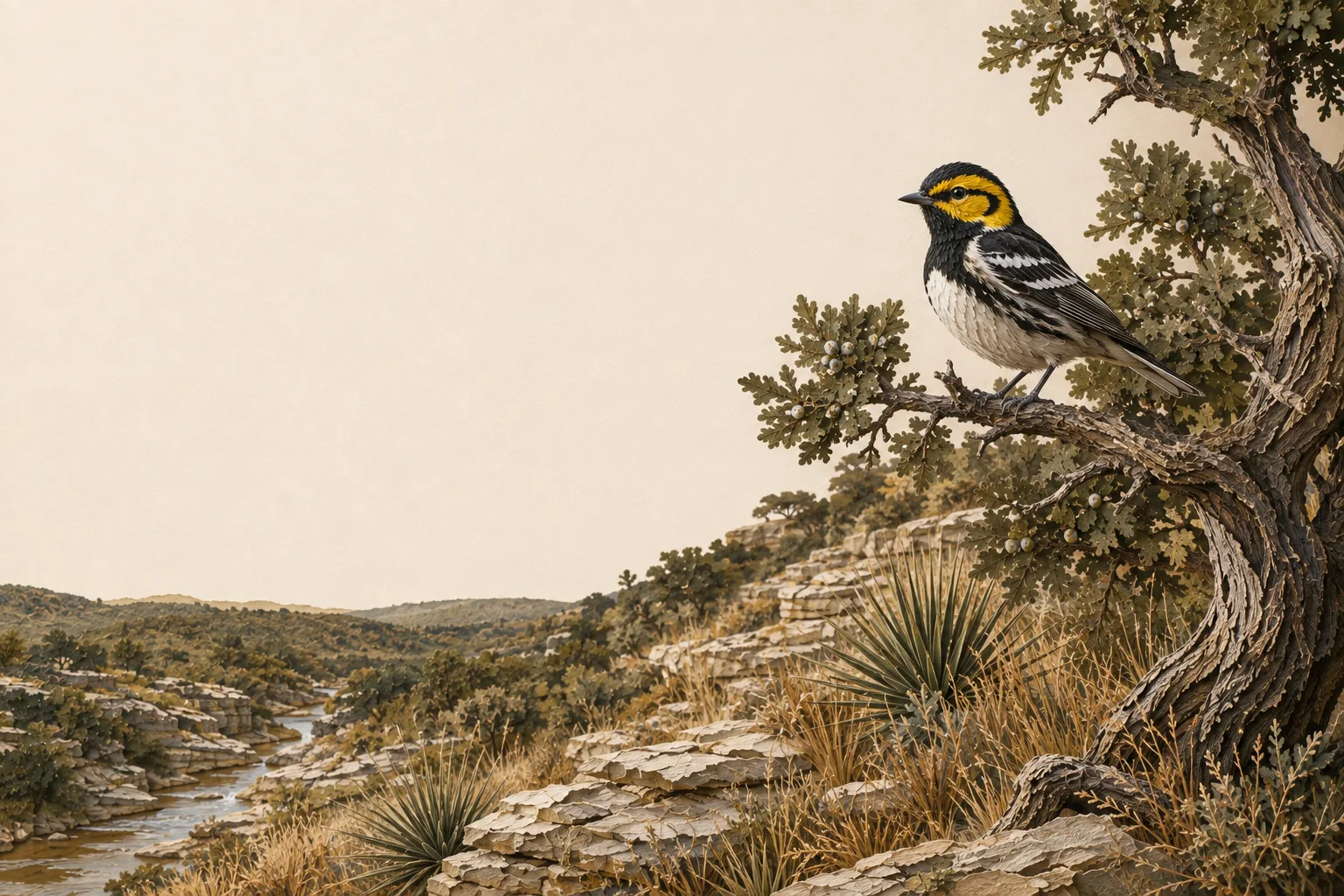
Edwards Plateau
30 counties Limestone hills, live oak savannah, and spring-fed creeks - the heart of Texas wildlife management. white-tailed deer and Rio Grande turkey Practices & counties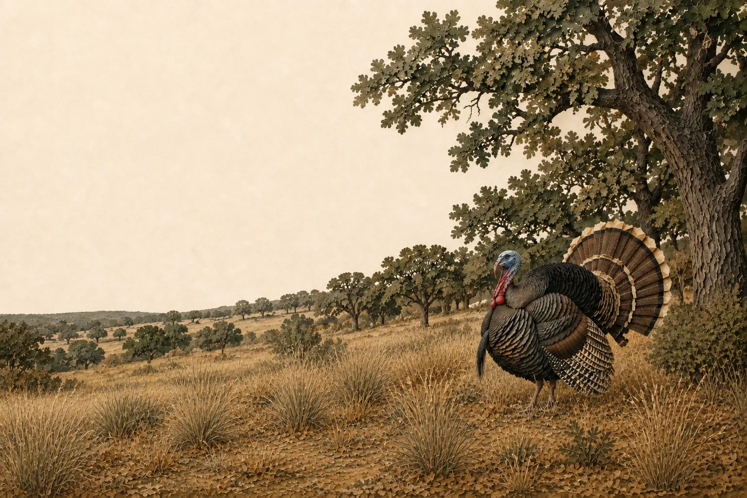
Cross Timbers & Prairies
23 counties Oak woodlands and prairie openings west of the Metroplex - classic ranchette wildlife country. white-tailed deer and Rio Grande turkey Practices & counties
Post Oak Savannah
26 counties Rolling post oak woodlands and native prairie remnants between the Blacklands and the Pineywoods. white-tailed deer and bobwhite quail Practices & counties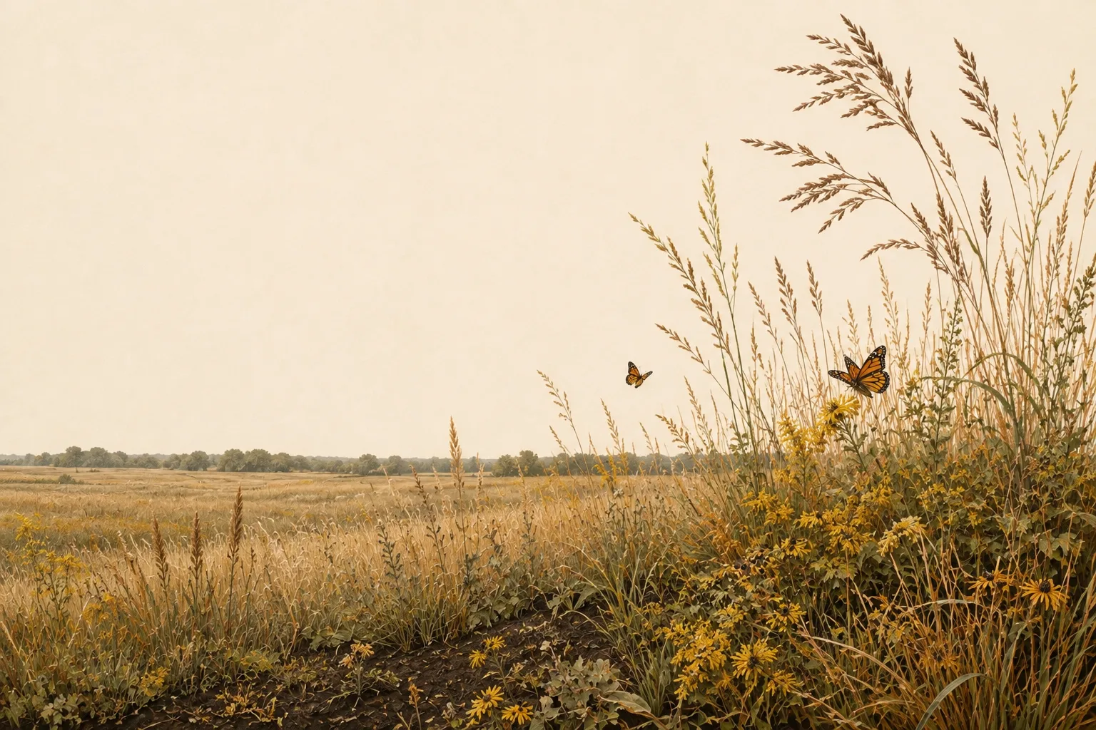
Blackland Prairies
17 counties Deep black clay soils and tallgrass prairie remnants in the fastest-growing corridor in Texas. grassland songbirds and white-tailed deer Practices & counties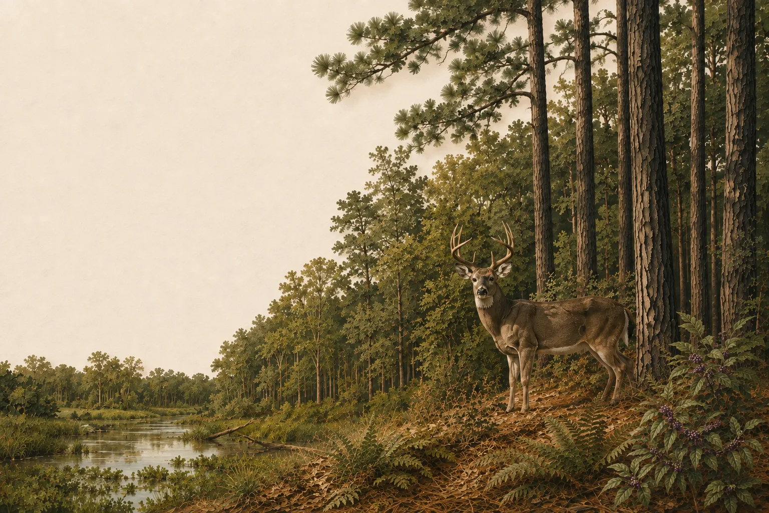
Pineywoods
30 counties Pine-hardwood forest, bottomland sloughs, and timber country transitioning to wildlife. white-tailed deer and eastern wild turkey Practices & counties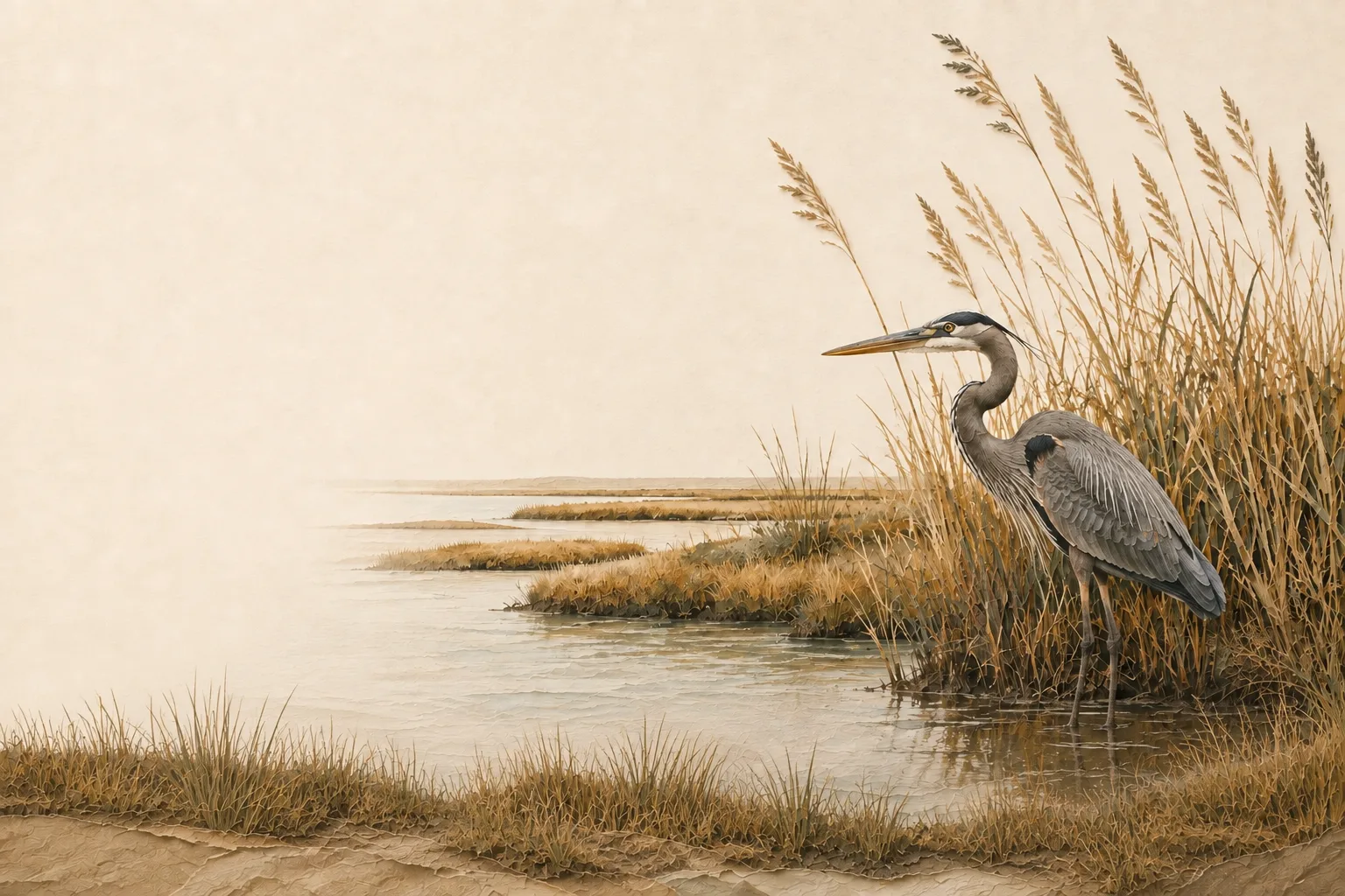
Gulf Prairies & Marshes
18 counties Coastal prairie, rice country, and marsh - a flyway funnel for waterfowl and shorebirds. waterfowl and coastal prairie birds Practices & counties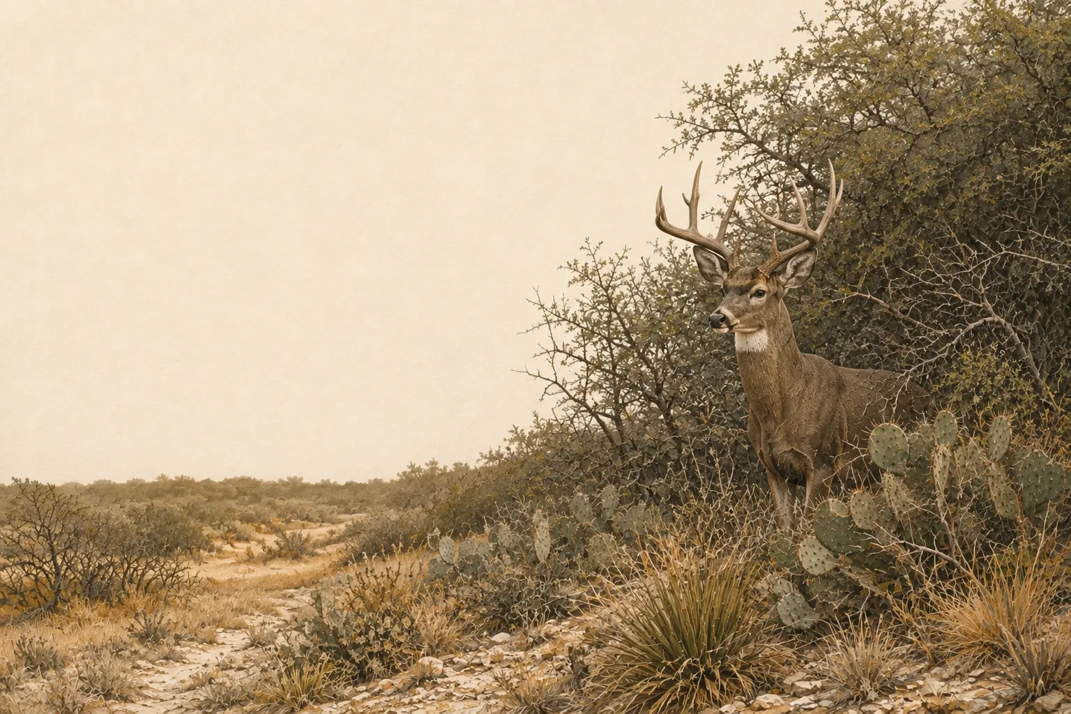
South Texas Plains
23 counties The famed South Texas brush country - trophy whitetails, bobwhites, and thornscrub habitat. white-tailed deer and bobwhite quail Practices & counties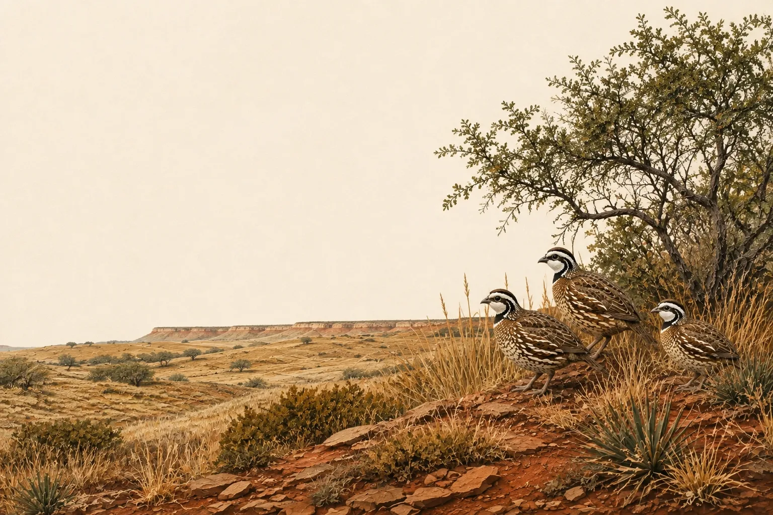
Rolling Plains
36 counties Red dirt, mesquite rangeland, and some of the best bobwhite quail country left in America. bobwhite quail and white-tailed deer Practices & counties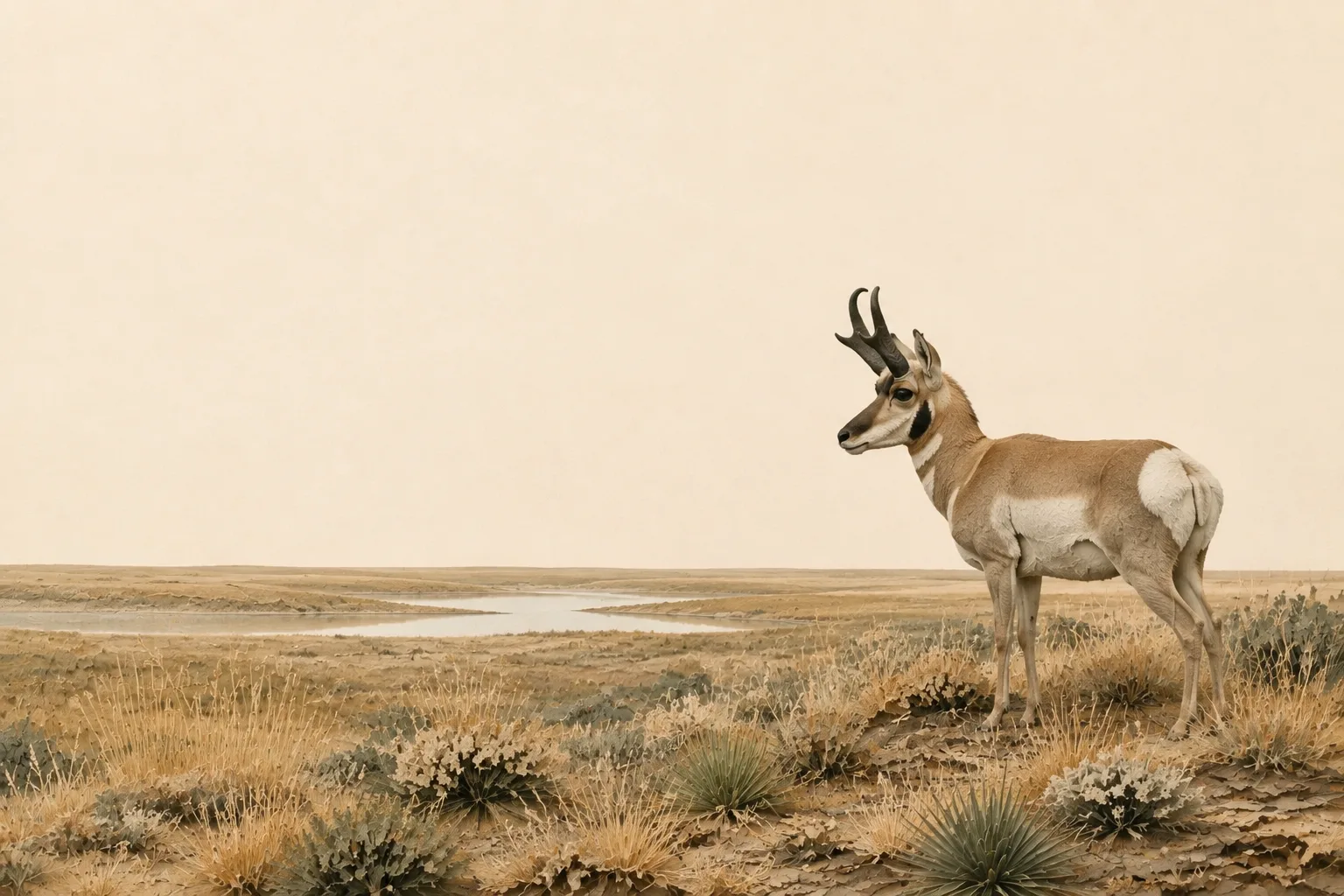
High Plains
36 counties Shortgrass prairie, playa lakes, and mule deer country on the Llano Estacado. mule deer and playa waterfowl Practices & counties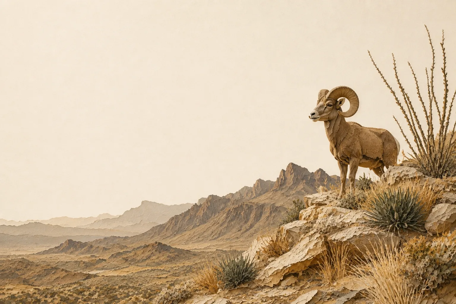
Trans-Pecos
15 counties Desert mountains and Chihuahuan grasslands - mule deer, pronghorn, and desert bighorn country. mule deer and pronghorn Practices & countiesTwo maps, and only one of them sets your acreage
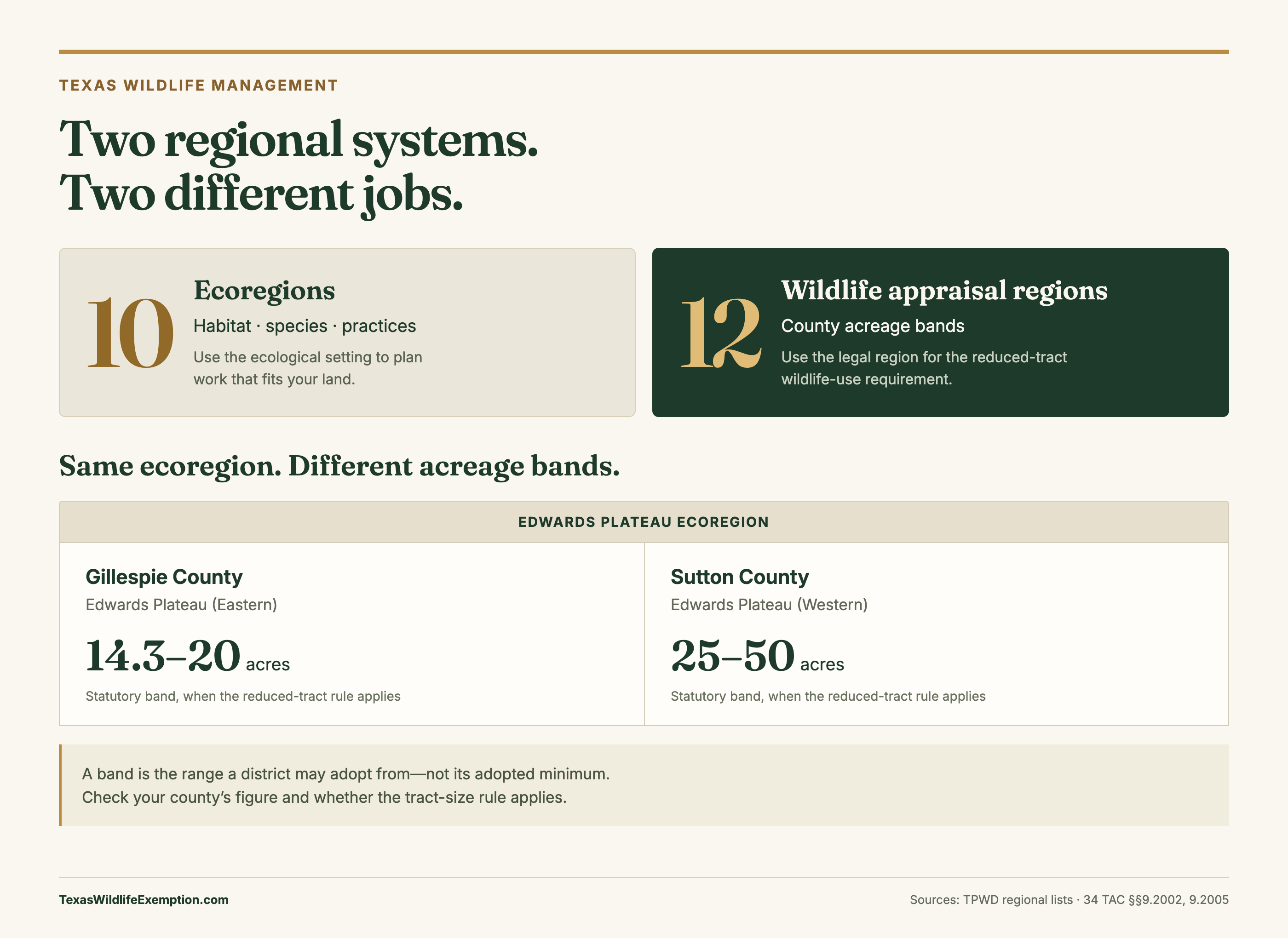
This is the single most confusing thing about Texas wildlife valuation, so it is worth stating plainly. There are two regional maps in play and they are not the same map:
- The ten ecoregions on this page - the classic Gould/TPWD regions. They decide content: which species your plan should target, which practices count as real management, and the intensity standards a chief appraiser measures your work against.
- The twelve wildlife appraisal regions of 34 TAC §9.2002 - a legal map. They decide exactly one thing: the acreage band your county may adopt a minimum from, and only for a tract that was reduced in size since January 1 of the preceding year.
Every one of the ten ecoregions spans between two and five of the twelve legal regions, and most span more than one acreage band - so two counties that share an ecoregion, and share every word of their practice standards, can carry different minimums. Each region page below shows exactly how its counties split, and the county-by-county acreage table has the adopted figure for every district that has published one.

Download PNGSources: TPWD ecoregions · TPWD appraisal regions · Acreage bands

Your region. Your practices. Your year, organized.
Bring your existing wildlife records. Turn the work that fits your ground into a checklist, a paper trail, and your next annual report.
No credit card required · Start free, upgrade when ready