Texas ecoregion · 30 counties

Edwards Plateau wildlife management

Limestone hills, live oak savannah, and spring-fed creeks — the heart of Texas wildlife management.

Counties
30 of 254
Flagship species
White-tailed deer and Rio Grande turkey
Appraisal regions
5 · 14.3–50 ac
Districts publishing a figure
12 of 30

The Edwards Plateau on the ground

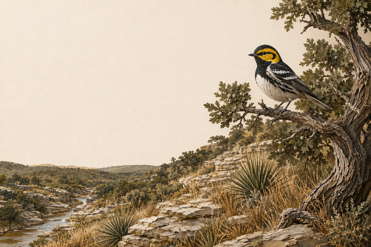
The Edwards Plateau — the Texas Hill Country — is a limestone tableland of live oak and ashe juniper savannah, cut by spring-fed creeks and steep canyons. Decades of overgrazing and juniper encroachment have degraded native grasslands here, which is exactly why wildlife management practices like brush control and native grass restoration carry so much weight with appraisal districts in this region.

The Edwards Plateau supports some of the densest white-tailed deer populations in North America — often exceeding one deer per 8–10 acres — which makes census counts and habitat management especially meaningful here. Typical target species for plans in this region include white-tailed deer, Rio Grande turkey, bobwhite quail, black-capped vireo, golden-cheeked warbler, and a wide range of native songbirds and pollinators.

What limits wildlife here

A wildlife management plan is most convincing when it takes on the problems that actually constrain wildlife in its region rather than listing generic good deeds. In the Edwards Plateau, those are juniper (cedar) encroachment, overbrowsing by high deer densities, and declining spring flows — and each one is a practice waiting to be written down. A plan that names a real local problem, commits to work at regional intensity, and documents it is the plan that gets approved and stays approved.

Start with three

You need at least three of the seven qualifying practices each year under Texas Tax Code §23.51(7). For most Edwards Plateau landowners the natural opening three are habitat control, supplemental water and census counts: habitat control is where the real management happens, water is the quickest to install and the easiest to photograph, and a census generates dated evidence every single year. You can change which three you run as the land changes — the statute asks for three practices performed and documented, not three particular practices forever.

The seven practices, Edwards Plateau-style

Every Texas plan draws from the same seven practices. What changes by region is what each one looks like — and a plan that describes the wrong version for its ecoregion is the fastest way to draw questions from a chief appraiser. Here is what each practice means in the Edwards Plateau:

1

Habitat control

Selective cedar (ashe juniper) removal to release native grasses, prescribed burns to restore oak savannah, and re-seeding with natives like little bluestem and sideoats grama.

2

Erosion control

Building brush berms on caliche slopes, gully plugging in drainages, and re-vegetating creek banks with switchgrass to slow runoff on thin limestone soils.

3

Predator control

Trapping feral hogs, controlling brown-headed cowbirds to protect nesting songbirds, and managing raccoon populations around turkey nesting areas.

4

Supplemental water

Installing wildlife water guzzlers on dry uplands, converting old livestock troughs with wildlife ramps, and protecting spring flows with fencing.

5

Supplemental food

Planting small food plots of oats or clover, managing native browse through rotational deer harvest, and supplemental protein feeding during summer stress periods.

6

Providing shelter

Retaining strategic cedar thickets for screening cover, building brush piles from cleared juniper, and installing nest boxes for cavity-nesting birds.

7

Census counts

Fall spotlight surveys on established routes, trail camera surveys at a rate of roughly one camera per 100 acres, and browse utilization surveys on key plants.

The acreage rule across the Edwards Plateau

The ecoregion decides your species and practices. It does not decide your acreage — that comes from a second, legal map: the twelve wildlife appraisal regions of 34 TAC §9.2002. The 30 counties of the Edwards Plateau fall into 5 of them, carrying more than one acreage band, so two counties that share every word of their practice standards can carry different minimums:

Wildlife appraisal regions and acreage bands covering the Edwards Plateau ecoregion
TPWD wildlife appraisal regionAcreage bandEdwards Plateau counties
Edwards Plateau (Eastern) 14.3–20 acres 93–95% 13 — Bandera, Bexar, Blanco, Burnet, Comal, Gillespie, and 7 more
Edwards Plateau (Western) 25–50 acres 96–98% 10 — Crockett, Edwards, Irion, Kimble, Menard, Reagan, and 4 more
Rolling Plains 25–50 acres 96–98% 3 — Concho, McCulloch, Tom Green
South Texas Plains 25–50 acres 96–98% 3 — Kinney, Medina, Uvalde
High Plains 25–50 acres 96–98% 1 — Glasscock

None of it applies unless the tract was reduced in size since January 1 of the preceding year. If it was, the minimum is 14.3–50 acres depending on the county, and 12 of the 30 districts here have published the exact figure they adopted. See the county-by-county table →

Every Edwards Plateau county

30 counties, each with its appraisal district, filing calendar, and local acreage answer:

Edwards Plateau questions

Edwards Plateau wildlife management FAQ

What are the wildlife management intensity standards for the Edwards Plateau?
TPWD publishes Comprehensive Wildlife Management Planning Guidelines for each ecoregion, and your appraisal district measures your plan against the Edwards Plateau edition. Intensity is the part landowners underestimate: it is not enough to name a practice, you have to do it at the scale the region expects — a stated number of brush acres, water sites, nest structures or survey nights, sustained annually. The seven worked examples above are written at that scale. The practical test is whether a chief appraiser reading your plan can tell how much of each practice you committed to, and whether your records show you did it.
Which species should an Edwards Plateau wildlife management plan target?
Whatever you name, it has to be indigenous — Texas Tax Code §23.51(7) qualifies land used to sustain a breeding, migrating or wintering population of native wild animals, and that is the species test that decides qualification. In the Edwards Plateau, plans are usually built around white-tailed deer, Rio Grande turkey, bobwhite quail, black-capped vireo, golden-cheeked warbler, and a wide range of native songbirds and pollinators. The Edwards Plateau supports some of the densest white-tailed deer populations in North America — often exceeding one deer per 8–10 acres — which makes census counts and habitat management especially meaningful here. Introduced species are the common trap, so confirm every species you name in the plan is native to Texas before you file — managing for exotics (alone) earns nothing toward your three practices.
What is the minimum acreage in the Edwards Plateau?
For most tracts, none at all — an acreage test applies only where the tract was reduced in size since January 1 of the preceding year. And when it does apply, it is not the ecoregion that decides it: the 30 Edwards Plateau counties fall into 5 different TPWD wildlife appraisal regions, whose bands run from 14.3 to 50 acres. 12 of the 30 districts here have published the figure they adopted; the rest have not, and their county falls back to its band. See the figure for every county.
Which counties are in the Edwards Plateau?
30 of Texas's 254: Bandera, Bexar, Blanco, Burnet, Comal, Concho, Crockett, Edwards, Gillespie, Glasscock, Hays, Irion, Kendall, Kerr, Kimble, Kinney, Llano, Mason, McCulloch, Medina, Menard, Reagan, Real, San Saba, Schleicher, Sutton, Tom Green, Travis, Uvalde, Val Verde. Each has its own guide covering the appraisal district, the filing calendar, and the acreage rule as it applies there. Texas ecoregions do not follow county lines, so a county on a boundary may read as Edwards Plateau on one side and something else on the other — where a district's own guidance points elsewhere, follow the district.
Which three practices should an Edwards Plateau plan start with?
Habitat control, supplemental water, and census counts is the combination that works almost everywhere, and it works here: habitat control is where the real management happens, water is the easiest to install and photograph, and a census produces dated evidence every year without fail. In the Edwards Plateau that means selective cedar (ashe juniper) removal to release native grasses, prescribed burns to restore oak savannah, and re-seeding with natives like little bluestem and sideoats grama. You need three of the seven each year, and you may change which three as the land changes — the requirement is three practices performed and documented, not three particular practices forever.

Statewide answers are in the full FAQ; the eligibility page covers who qualifies.

An Edwards Plateau plan, in about fifteen minutes.

Start free — the builder loads this region’s species, practices and intensity standards, then keeps the seasonal work on a checklist.

No credit card required · 15 minutes to a draft plan · Cancel anytime