The wildlife exemption in Llano County
Llano CAD comes back to you every year. The district’s 2025–2026 reappraisal plan says it sends annual update forms to properties already carrying wildlife-management valuation, then receives and reviews those updates alongside new wildlife applications, inspects the new applications, and continues field inspection of agricultural and wildlife land. Expect that form to arrive, and keep a running record as you go, because a year of work is hard to reconstruct from memory.
On acreage, Llano County sits in the Eastern Edwards Plateau wildlife appraisal region. That region’s reduced-tract band runs roughly 14.3–20 acres for a standard tract and 11.1–12.5 acres for land in a wildlife management property association or a qualifying listed-species category, and it bears only on a tract whose acreage was cut since January 1 of the preceding tax year. If the tract is the same size or larger, that acreage test does not apply, though every other qualification requirement still does. No current public LCAD material sets out where inside the band the district lands, so that figure has to come from the district.
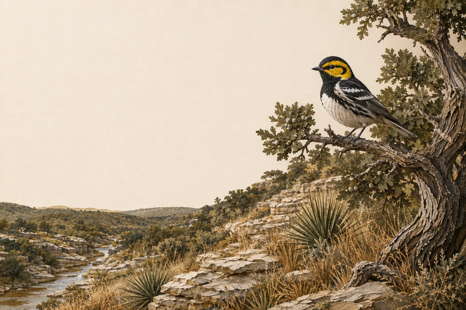
Llano sits on the Llano Uplift, so a good deal of the county is granite country: coarse, shallow soils that drain fast under live oak and post oak. The Llano River and its tributaries cut through that, leaving deeper bottomland ground along them. TPWD describes the Mason–Gillespie–Llano convergence as country that can support roughly one deer per 2–3 acres in places, so browse condition here is worth tracking as closely as the deer count.
On the ground in Llano County
The Llano River cuts through a county where granite of the Llano Uplift, sandy soils, live oak and post oak create a different Hill Country texture from the limestone farther south. That matters for wildlife management. Food plots may work in deeper bottoms and fail on shallow granite ground; native forage, water, brush pattern and census can be more reliable tools. The Llano County plan should use the property’s geology and drainage to decide where habitat work will actually hold.
Llano County lies in the Edwards Plateau and is assigned to TPWD's Edwards Plateau (Eastern) wildlife-use appraisal region - the legal map that sets the reduced-tract acreage rule below.
Is there an acreage minimum in Llano County?
Did the tract get smaller since January 1 of last year?
There is no wildlife acreage test in Llano County at all. Whatever the size, file Comptroller Form 50‑129 with a PWD‑885 plan. A 7-acre tract that already carried 1‑d‑1 (ag exempt) and was never split can convert with no penalties.
The Llano County appraisal district has not published its exact figure. However, the legal minimum land requirement for this county in the Edwards Plateau (Eastern) region is between 14.3–20 acres (93–95%). If your acreage is inside of this range, we recommend to file the plan either way; the county will apply whatever they adopted.
See how Llano County compares: minimum acreage for all 254 Texas counties →
Llano CAD sends out annual update forms
LCAD’s 2025–2026 reappraisal plan says the district sends annual update forms to existing wildlife-management properties, receives and reviews wildlife applications and annual wildlife updates, inspects new wildlife applications, and continues field inspection of agricultural and wildlife properties.
So the update is part of the normal year here. Keep a PWD‑888-ready record as you go - dates, locations, photographs, receipts or logs, and results - and filling in the district’s form becomes a matter of copying out what you already wrote down.
How it works here
Llano County follows the statewide 1-d-1 framework (Texas Tax Code §23.51(7)); the local variables are your appraisal district's filing habits and the Edwards Plateau intensity standards:
- Start from an existing ag or timber valuation. Wildlife management is a conversion of qualified open-space land - check eligibility if your status is unclear.
- File a wildlife management plan (TPWD form PWD‑885) with the Llano County appraisal district, attached to Comptroller Form 50‑129, between January 1 and April 30. What goes in the plan →
- Perform at least 3 of the 7 practices each year at Edwards Plateau intensity levels - see the local examples below.
- Document everything - dates, photos, quantities. When the chief appraiser requests an annual report (PWD‑888), you'll answer with records, not recollections.
- No minimum acreage applies unless your tract got smaller since January 1 of last year. If it did, Llano County's figure is covered above - the district picks one number for the whole county, and the plan is still the application either way.
The 7 practices in Llano County
These are the kinds of activities appraisal districts in the Edwards Plateau recognize as real management - your plan picks at least three. The Edwards Plateau region guide covers the species, habitat problems and intensity standards behind them.
Choose any 3 of the 7 qualifying practices. The highlighted practices are commonly recommended in this county, but the right combination depends on the property and management goals.
