The wildlife exemption in Burnet County
Burnet CAD wants a Wildlife Management Annual Report, PWD‑888, filed by March 1 every year. Its published checklist asks you to show at least three qualifying activities and to back them up with receipts or a detailed dated activity log, photographs, and an aerial map marking where on the property each activity took place. Burnet’s published policy states that failure to submit the required annual wildlife report results in removal of the agricultural value.
Build that record as the year goes rather than reconstructing it in February. On acreage, Burnet CAD’s published policy uses 14.3 qualifying acres as its wildlife-management minimum. That test applies only where the tract was reduced in size since January 1 of the preceding tax year. A tract that is the same size or larger is not measured against it, though every other qualification requirement still applies.
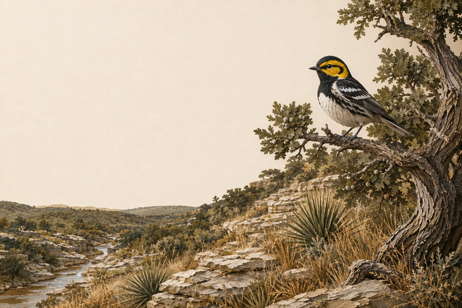
Burnet sits on the seam between two kinds of country. West and south toward Marble Falls and the Llano Uplift, the soils come off granite and run coarse and shallow. East of there the ground is limestone, carrying oak and juniper woodland and old fields. The Colorado River, the Highland Lakes and their feeder creeks push riparian cover through both. Say in the plan which of those the tract sits on, and manage for that.
On the ground in Burnet County
Burnet County straddles several versions of the Hill Country at once: granite around Marble Falls and the Llano Uplift, limestone farther east, rocky ranchland, the Colorado River and the Highland Lakes. That variation makes tract-level habitat work more useful than a single county recipe. Selective juniper or brush control, native-grass recovery, protection of creeks and lake tributaries, dependable water and repeatable census work can all fit. The local wildlife plan should explain whether the property is granite, limestone, lakeside or upland - and manage accordingly.
Burnet County lies in the Edwards Plateau and is assigned to TPWD's Edwards Plateau (Eastern) wildlife-use appraisal region - the legal map that sets the reduced-tract acreage rule below.
Is there an acreage minimum in Burnet County?
Did the tract get smaller since January 1 of last year?
There is no wildlife acreage test in Burnet County at all. Whatever the size, file Comptroller Form 50‑129 with a PWD‑885 plan. A 7-acre tract that already carried 1‑d‑1 (ag exempt) and was never split can convert with no penalties.
The Burnet County appraisal district has published its figure. The legal minimum land requirement is 14.3 acres.
Source: Burnet Central Appraisal District AG Manual, October 3, 2019.
See how Burnet County compares: minimum acreage for all 254 Texas counties →
Burnet’s annual report deadline is March 1
Burnet CAD requires a Wildlife Management Annual Report, PWD‑888, by March 1. Its published checklist asks the owner to document at least three qualifying activities and to supply supporting proof: receipts or a detailed dated activity log, photographs, and an aerial map identifying where each activity happened.
Burnet’s published policy states that failure to submit the required annual wildlife report results in removal of the agricultural value. Treat it as a filing you owe the district every year.
Photographs carry more weight when you can say where and when they were taken, so mark the map and date the log while the work is fresh.
How it works here
Burnet County follows the statewide 1-d-1 framework (Texas Tax Code §23.51(7)); the local variables are your appraisal district's filing habits and the Edwards Plateau intensity standards:
- Start from an existing ag or timber valuation. Wildlife management is a conversion of qualified open-space land - check eligibility if your status is unclear.
- File a wildlife management plan (TPWD form PWD‑885) with the Burnet County appraisal district, attached to Comptroller Form 50‑129, between January 1 and April 30. What goes in the plan →
- Perform at least 3 of the 7 practices each year at Edwards Plateau intensity levels - see the local examples below.
- Document everything - dates, photos, quantities. When the chief appraiser requests an annual report (PWD‑888), you'll answer with records, not recollections.
- No minimum acreage applies unless your tract got smaller since January 1 of last year. If it did, Burnet County's figure is covered above - the district picks one number for the whole county, and the plan is still the application either way.
The 7 practices in Burnet County
These are the kinds of activities appraisal districts in the Edwards Plateau recognize as real management - your plan picks at least three. The Edwards Plateau region guide covers the species, habitat problems and intensity standards behind them.
Choose any 3 of the 7 qualifying practices. The highlighted practices are commonly recommended in this county, but the right combination depends on the property and management goals.
