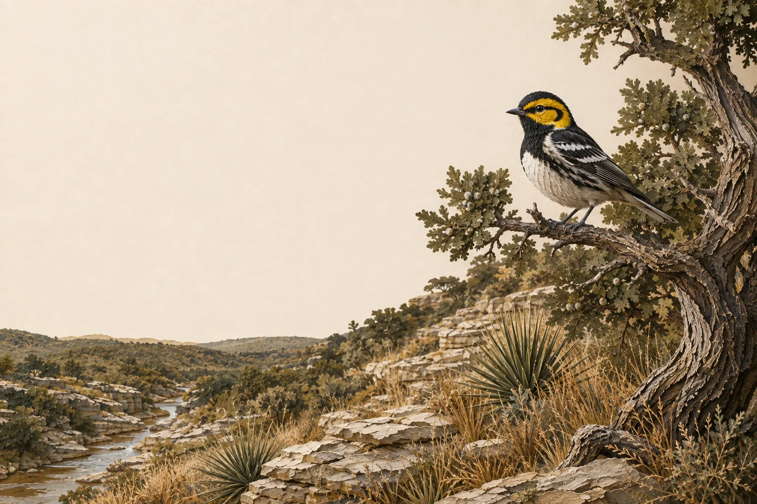
Illustrated Edwards Plateau limestone creek, Ashe juniper and Golden-cheeked warbler.

Edwards Plateau Ecoregion

Travis County Wildlife Exemption

How to get - and keep - a 1-d-1 wildlife management valuation on Travis County land: deadlines, the appraisal district, and the practices that fit this part of Texas.

Ecoregion
Edwards Plateau
County seat & CAD
Austin, Texas
Application window
January 1 – April 30
Core requirement
Form 50‑129 + PWD‑885 · 3 of 7 qualifying practices annually

The wildlife exemption in Travis County

Travis Central Appraisal District treats the wildlife annual report as mandatory. Once a property is approved for wildlife management, TCAD wants PWD‑888 and the supporting documentation every year, and the report covering your 2026 management activities is due March 1, 2027. That deadline is separate from the application deadline and runs on its own calendar, so build the packet through the year and have it in hand by January.

The district is particular about the shape of the packet, because its filing instructions are built around documents it can scan. If you file electronically, send PDF documents rather than a link to a third-party download, and keep loose photo files out of it. Paper filings should come in on standard scannable pages, without loose photographs, receipts, USB drives or CDs mixed in. TCAD begins accepting agricultural applications for the coming tax year on December 1, and the timely application deadline is still April 30.

Travis is assigned to the Eastern Edwards Plateau wildlife appraisal region for the acreage rule. That assignment is a tax classification, and the ground under it changes a good deal from one end of the county to the other. West of Austin you have limestone canyons, karst features and juniper-oak woodland across the Balcones Canyonlands, some of it potential golden-cheeked warbler habitat. East of the city the country opens into prairie and Blackland-influenced soil.

On the ground in Travis County

West Travis County is Hill Country - Pedernales country, Bee Cave and limestone canyons falling toward the Colorado. East of Austin the landscape opens into prairie and Blackland-influenced ground. That split makes tract-specific planning essential. Western acreage may need juniper, karst and riparian work; eastern properties may benefit more from native prairie, creek buffers and invasive control. Across both sides, fragmentation is increasingly the common problem. On Travis County ground, the wildlife plan should show how the property keeps functional habitat connected inside a rapidly developing county.

Travis County lies in the Edwards Plateau and is assigned to TPWD's Edwards Plateau (Eastern) wildlife-use appraisal region - the legal map that sets the reduced-tract acreage rule below.

Is there an acreage minimum in Travis County?

Did the tract get smaller since January 1 of last year?

No ➔

There is no wildlife acreage test in Travis County at all. Whatever the size, file Comptroller Form 50‑129 with a PWD‑885 plan. A 7-acre tract that already carried 1‑d‑1 (ag exempt) and was never split can convert with no penalties.

Yes ➔

The Travis County appraisal district has not published its exact figure. However, the legal minimum land requirement for this county in the Edwards Plateau (Eastern) region is between 14.3–20 acres (93–95%). If your acreage is inside of this range, we recommend to file the plan either way; the county will apply whatever they adopted.

Try It Out Risk-Free

See how Travis County compares: minimum acreage for all 254 Texas counties →

Travis wildlife reports are mandatory

TCAD requires owners of approved wildlife-management property to file PWD‑888 with supporting documentation every year. The report covering 2026 management activities is due March 1, 2027.

The filing instructions are built for documents that can be scanned into the district’s system. Electronic submissions should be PDF documents rather than links to a third-party download, and individual loose photo files are not the format TCAD asks for. Hard-copy submissions should come in on standard scannable paper, without loose photographs, receipts, USB drives or CDs attached.

If you need proof a filing arrived, TCAD advises using a delivery method that gives confirmation, or hand-delivering it, instead of counting on an email receipt. Mail goes to P.O. Box 149012, Austin, TX 78714-9012, and the district keeps the current filing address on its application and annual-report pages.

How it works here

Travis County follows the statewide 1-d-1 framework (Texas Tax Code §23.51(7)); the local variables are your appraisal district's filing habits and the Edwards Plateau intensity standards:

  • Start from an existing ag or timber valuation. Wildlife management is a conversion of qualified open-space land - check eligibility if your status is unclear.
  • File a wildlife management plan (TPWD form PWD‑885) with the Travis County appraisal district, attached to Comptroller Form 50‑129, between January 1 and April 30. What goes in the plan →
  • Perform at least 3 of the 7 practices each year at Edwards Plateau intensity levels - see the local examples below.
  • Document everything - dates, photos, quantities. When the chief appraiser requests an annual report (PWD‑888), you'll answer with records, not recollections.
  • No minimum acreage applies unless your tract got smaller since January 1 of last year. If it did, Travis County's figure is covered above - the district picks one number for the whole county, and the plan is still the application either way.

The 7 practices in Travis County

These are the kinds of activities appraisal districts in the Edwards Plateau recognize as real management - your plan picks at least three. The Edwards Plateau region guide covers the species, habitat problems and intensity standards behind them.

Choose any 3 of the 7 qualifying practices. The highlighted practices are commonly recommended in this county, but the right combination depends on the property and management goals.

Commonly Recommended in Travis CountyCommonly Recommended

Habitat control

West of Austin, take stock of the mature Ashe juniper-oak woodland and the karst features before any mechanical clearing, since the work here often means holding and connecting mature woodland on one part of the tract while opening canopy for grass and forb response on another. East of the city the job shifts toward native prairie and forb restoration, holding back woody encroachment and invasive species, and keeping a workable mix of open grassland and cover.

Commonly Recommended in Travis CountyCommonly Recommended

Census counts

Bird surveys carry real weight on the west side where woodland management is tied to avian habitat, with camera stations and browse monitoring covering deer and mesomammal use. East of Austin, repeatable bird, pollinator, camera and vegetation surveys are what show whether the prairie is responding. Run the same stations the same way each year so the annual packet shows a trend.

Commonly Recommended in Travis CountyCommonly Recommended

Erosion control

On the western side, protect canyon slopes, creek banks, springs, karst-sensitive ground, road crossings, and the disturbed edges where exurban construction meets the tract. East of Austin the trouble is more often bare pasture, cut creek margins, headcuts, and runoff coming off roads and new development. Either way, the treatment locations belong in the supporting documentation that goes with the annual report.

Supplemental water

Protect the spring and creek systems in the western canyons and make existing stock water wildlife-safe with escape ramps and reachable edges. Where the target species already has reliable water, another trough is hard to defend as a qualifying practice, and that holds on both sides of the county.

Providing shelter

On western tracts, mature woodland, rocky and karst cover, riparian timber, snags and downed wood, and brush piles can all be defensible, depending on the species the plan is written around. East of Austin the useful structure is more often riparian strips, tall grass and field-edge cover, and the woody islands left standing in open ground.

Predator control

Name the animal and give the reason. Feral-hog removal holds up where rooting damage is documented along creek bottoms, around water, or in a planted plot, and on the smaller exurban tracts west of Austin the file should carry dates, locations and what was found instead of a bare line reading predator control.

Supplemental food

West of Austin the more durable objective is native browse and forb recovery coming out of the habitat work, with a planted plot only where there is soil depth to hold one. East of the city, native seed and forb diversity and pollinator habitat usually make a stronger case than a generic deer food plot.

Filing & the appraisal district

DateWhat happens in Travis County
January 1Valuation date - land is judged on its use and qualification as of this day.
Jan 1 – Apr 30File Form 50‑129 with your PWD‑885 plan at the Travis County appraisal district (Austin).
After Apr 30Late applications accepted until the appraisal roll certifies, with a 10% penalty on that year's savings.
ReportingAnnual PWD‑888 required; the 2026 activity report is due March 1, 2027. Keep dated logs and photographs as you go.

Travis Central Appraisal District is in Austin, and its number is 512-834-9317. Confirm details before filing; districts adjust procedures year to year.

The cost of letting it slip

Losing qualification means market-value taxes going forward - and if the land's use changes to non-agricultural, rollback taxes: the previous three years of tax savings, recaptured in one bill. On typical Travis County acreage that's easily five figures. How rollback works →

Travis County questions

Travis County wildlife exemption FAQ

The questions Travis County landowners ask most - answered against this county’s appraisal district and the Edwards Plateau standards its plans are judged by.

How many acres do you need for a wildlife exemption in Travis County?
For most tracts, there is no minimum at all. Travis County applies no acreage test to wildlife management use unless your tract was reduced in size since January 1 of the preceding year. If it was, the Travis County appraisal district applies one figure it has adopted from the band its TPWD wildlife appraisal region carries - Travis County sits in the Edwards Plateau (Eastern) region, whose legal minimum land requirement for this county runs 14.3–20 acres (93–95%). If your acreage is inside of this range, we recommend to file the application either way; the county will apply whatever they adopted.
What is the wildlife exemption filing deadline in Travis County?
April 30. The window opens January 1 and closes April 30 - file Comptroller Form 50‑129 with a TPWD PWD‑885 wildlife management plan attached at the Travis County appraisal district in Austin. Miss it and the district still accepts a late application until the appraisal roll certifies (typically mid-July), but with a 10% penalty on that year’s tax savings. One trap catches new owners every year: buying land that already holds the valuation does not carry it over to you - you have to file your own application.
Do I need an existing ag exemption to get a wildlife exemption in Travis County?
Yes. Wildlife management is a qualifying use within the 1-d-1 open-space valuation, not a separate exemption - so the land has to already carry an agricultural or timber productivity valuation on the day you convert. If it does, converting changes the qualifying activity and nothing else: the productivity value carries over from your previous ag category, so your tax bill does not move. If the land lost its valuation, you would requalify the ordinary way first - agricultural use for 5 of the preceding 7 years - and then convert. The conversion playbook →
Which wildlife management practices qualify in Travis County?
Any three of the seven named in Texas Tax Code §23.51(7): habitat control, erosion control, predator control, supplemental water, supplemental food, providing shelter, and census counts. The list is statewide, but the standard you are judged against is regional - Travis County is Edwards Plateau country, so the Travis County appraisal district expects work sized to Edwards Plateau intensity levels and aimed at the problems that actually limit wildlife here: juniper (cedar) encroachment, overbrowsing by high deer densities, and declining spring flows. Habitat control, supplemental water, and census counts are the most common opening three. See what each one looks like here →
What species should a Travis County wildlife management plan target?
Whatever you name, it has to be indigenous - Texas Tax Code §23.51(7) qualifies land used to sustain a breeding, migrating, or wintering population of native wild animals, and that is the species test that actually decides qualification. In the Edwards Plateau, plans are usually built around white-tailed deer, Rio Grande turkey, bobwhite quail, black-capped vireo, golden-cheeked warbler, and a wide range of native songbirds and pollinators. The Edwards Plateau supports some of the densest white-tailed deer populations in North America - often exceeding one deer per 8–10 acres - which makes census counts and habitat management especially meaningful here. Introduced species are the common trap: exotics like axis deer or blackbuck may live on the property, but managing for them (alone) earns you nothing toward your three practices - so confirm every species you name in the plan is native to Texas before you file.
Does Travis County require a PWD-888 annual report every year?
The chief appraiser may require one whenever they ask - that is the statutory standard, and many Texas districts ask annually or on a review cycle. The practical answer is to assume it is coming: keep dated records, photos, and quantities for every practice as you go, and the report is a formality instead of a scramble. Landowners rarely lose a valuation because the work was not done; they lose it because the work could not be proven. What a strong PWD‑888 looks like →
Will switching from cattle to wildlife trigger rollback taxes in Travis County?
No. Rollback under Texas Tax Code §23.55 is triggered by a change to a non-agricultural use - developing, paving, or subdividing the land. Moving from grazing to wildlife management is a change of use within 1-d-1, so the valuation continues uninterrupted and no recapture is owed. What does carry risk is letting the land go idle: land quietly used for nothing agricultural can be treated as having changed use. A documented wildlife plan is precisely how you stay out of that gray zone. How rollback works →
Who approves the wildlife exemption in Travis County - TPWD or the appraisal district?
The appraisal district. The Travis County appraisal district’s chief appraiser reviews your Form 50‑129 and PWD‑885 plan and decides whether the land qualifies, the same as for any agricultural application. Texas Parks & Wildlife publishes the forms and the ecoregion guidelines your plan should match, but it does not approve individual properties and has no vote on your valuation. The district is headquartered in Austin; current contact details are in the Texas Comptroller’s county directory.

Looking for the statewide picture? The full Texas wildlife exemption FAQ covers eligibility, plans, practices, reports, and rollback in depth.

The Edwards Plateau counties closest to Travis County - same ecoregion, same intensity standards, and largely the same ground:

Rio Grande wild turkey and northern bobwhite quail among native Texas grasses and limestone

Protect your Travis County valuation.

Bring your previous report and field records. Keep this year’s practices, county feedback, and next PWD‑888 together.

No credit card required · Start free, upgrade when ready