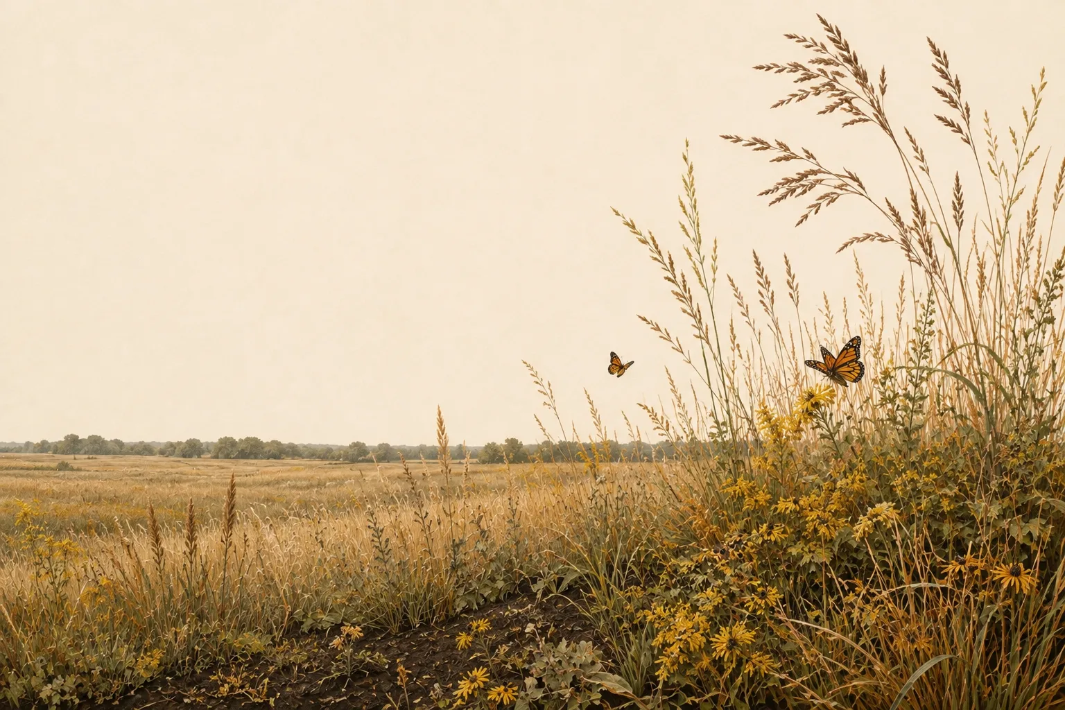
Texas ecoregion · 17 counties

Blackland Prairies wildlife management

Deep black clay soils and tallgrass prairie remnants in the fastest-growing corridor in Texas.

Counties
17 of 254
Flagship species
Grassland songbirds and white-tailed deer
Appraisal regions
3 · 12.5–20 ac
Districts publishing a figure
8 of 17

The Blackland Prairies on the ground

The Blackland Prairies run in a crescent from the Red River through Dallas to San Antonio — deep, fertile black clay that once grew tallgrass prairie and now grows subdivisions and row crops. Less than one percent of the original tallgrass remains, which makes prairie restoration on Blackland properties both ecologically important and highly credible with appraisal districts.

Deer populations in the Blacklands concentrate along creek corridors and remaining woodlands; many successful wildlife management programs here focus on grassland birds and pollinators rather than deer alone — a fully qualifying approach under 1-d-1. Typical target species for plans in this region include white-tailed deer, bobwhite quail, grassland songbirds like meadowlarks and dickcissels, waterfowl on stock tanks, and native pollinators.

What limits wildlife here

A wildlife management plan is most convincing when it takes on the problems that actually constrain wildlife in its region rather than listing generic good deeds. In the Blackland Prairies, those are near-total loss of native tallgrass prairie, johnsongrass and KR bluestem invasion, and intense development pressure — and each one is a practice waiting to be written down. A plan that names a real local problem, commits to work at regional intensity, and documents it is the plan that gets approved and stays approved.

Start with three

You need at least three of the seven qualifying practices each year under Texas Tax Code §23.51(7). For most Blackland Prairies landowners the natural opening three are habitat control, supplemental water and census counts: habitat control is where the real management happens, water is the quickest to install and the easiest to photograph, and a census generates dated evidence every single year. You can change which three you run as the land changes — the statute asks for three practices performed and documented, not three particular practices forever.

The seven practices, Blackland Prairies-style

Every Texas plan draws from the same seven practices. What changes by region is what each one looks like — and a plan that describes the wrong version for its ecoregion is the fastest way to draw questions from a chief appraiser. Here is what each practice means in the Blackland Prairies:

1

Habitat control

Restoring native tallgrass species (big bluestem, Indiangrass, eastern gamagrass), controlling johnsongrass and KR bluestem, and managing riparian woodlands along creeks.

2

Erosion control

Grassed waterways in old crop fields, gully repair in the erosive clay, and buffer strips along creeks to keep the black soil in place.

3

Predator control

Feral hog control along creek bottoms, red imported fire ant management in nesting habitat, and cowbird trapping to protect prairie songbirds.

4

Supplemental water

Wildlife-friendly stock tank management with gradual slopes and emergent vegetation, small shallow wetlands for migrating shorebirds, and rainwater collection for guzzlers.

5

Supplemental food

Native forb and wildflower plantings for pollinators and seed-eating birds, milo and sunflower strips for dove, and managed grazing deferment to build seed and insect abundance.

6

Providing shelter

Establishing thicket mottes of native plum and sumac for quail, leaving field borders in tall cover, and installing nest boxes for bluebirds and kestrels.

7

Census counts

Point-count songbird surveys in spring, fall covey counts, incidental deer camera surveys, and annual photo points to document prairie recovery.

The acreage rule across the Blackland Prairies

The ecoregion decides your species and practices. It does not decide your acreage — that comes from a second, legal map: the twelve wildlife appraisal regions of 34 TAC §9.2002. The 17 counties of the Blackland Prairies fall into 3 of them, carrying more than one acreage band, so two counties that share every word of their practice standards can carry different minimums:

Wildlife appraisal regions and acreage bands covering the Blackland Prairies ecoregion
TPWD wildlife appraisal regionAcreage bandBlackland Prairies counties
Blackland Prairie 12.5–16.7 acres 92–94% 15 — Collin, Dallas, Delta, Ellis, Falls, Fannin, and 9 more
Cross Timbers and Prairies 14.3–20 acres 93–95% 1 — Bell
Edwards Plateau (Eastern) 14.3–20 acres 93–95% 1 — Williamson

None of it applies unless the tract was reduced in size since January 1 of the preceding year. If it was, the minimum is 12.5–20 acres depending on the county, and 8 of the 17 districts here have published the exact figure they adopted. See the county-by-county table →

Every Blackland Prairies county

17 counties, each with its appraisal district, filing calendar, and local acreage answer:

Blackland Prairies questions

Blackland Prairies wildlife management FAQ

What are the wildlife management intensity standards for the Blackland Prairies?
TPWD publishes Comprehensive Wildlife Management Planning Guidelines for each ecoregion, and your appraisal district measures your plan against the Blackland Prairies edition. Intensity is the part landowners underestimate: it is not enough to name a practice, you have to do it at the scale the region expects — a stated number of brush acres, water sites, nest structures or survey nights, sustained annually. The seven worked examples above are written at that scale. The practical test is whether a chief appraiser reading your plan can tell how much of each practice you committed to, and whether your records show you did it.
Which species should a Blackland Prairies wildlife management plan target?
Whatever you name, it has to be indigenous — Texas Tax Code §23.51(7) qualifies land used to sustain a breeding, migrating or wintering population of native wild animals, and that is the species test that decides qualification. In the Blackland Prairies, plans are usually built around white-tailed deer, bobwhite quail, grassland songbirds like meadowlarks and dickcissels, waterfowl on stock tanks, and native pollinators. Deer populations in the Blacklands concentrate along creek corridors and remaining woodlands; many successful wildlife management programs here focus on grassland birds and pollinators rather than deer alone — a fully qualifying approach under 1-d-1. Introduced species are the common trap, so confirm every species you name in the plan is native to Texas before you file — managing for exotics (alone) earns nothing toward your three practices.
What is the minimum acreage in the Blackland Prairies?
For most tracts, none at all — an acreage test applies only where the tract was reduced in size since January 1 of the preceding year. And when it does apply, it is not the ecoregion that decides it: the 17 Blackland Prairies counties fall into 3 different TPWD wildlife appraisal regions, whose bands run from 12.5 to 20 acres. 8 of the 17 districts here have published the figure they adopted; the rest have not, and their county falls back to its band. See the figure for every county.
Which counties are in the Blackland Prairies?
17 of Texas's 254: Bell, Collin, Dallas, Delta, Ellis, Falls, Fannin, Grayson, Hill, Hunt, Kaufman, Lamar, Limestone, McLennan, Navarro, Rockwall, Williamson. Each has its own guide covering the appraisal district, the filing calendar, and the acreage rule as it applies there. Texas ecoregions do not follow county lines, so a county on a boundary may read as Blackland Prairies on one side and something else on the other — where a district's own guidance points elsewhere, follow the district.
Which three practices should a Blackland Prairies plan start with?
Habitat control, supplemental water, and census counts is the combination that works almost everywhere, and it works here: habitat control is where the real management happens, water is the easiest to install and photograph, and a census produces dated evidence every year without fail. In the Blackland Prairies that means restoring native tallgrass species (big bluestem, Indiangrass, eastern gamagrass), controlling johnsongrass and KR bluestem, and managing riparian woodlands along creeks. You need three of the seven each year, and you may change which three as the land changes — the requirement is three practices performed and documented, not three particular practices forever.

Statewide answers are in the full FAQ; the eligibility page covers who qualifies.

A Blackland Prairies plan, in about fifteen minutes.

Start free — the builder loads this region’s species, practices and intensity standards, then keeps the seasonal work on a checklist.

No credit card required · 15 minutes to a draft plan · Cancel anytime