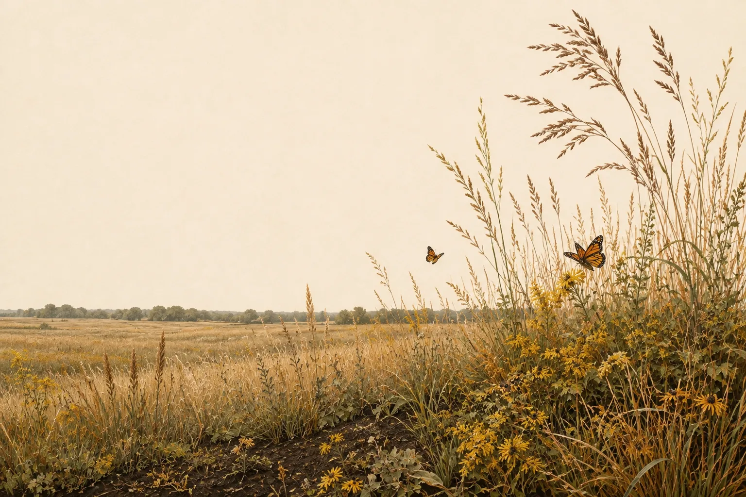
The wildlife exemption in Grayson County
Grayson County sits in the heart of the Blackland Prairies - deep black clay soils and tallgrass prairie remnants in the fastest-growing corridor in Texas. For landowners here, the 1-d-1 wildlife management valuation is the most practical way to keep agricultural-level property taxes without running livestock.
The Blackland Prairies run in a crescent from the Red River through Dallas to San Antonio - deep, fertile black clay that once grew tallgrass prairie and now grows subdivisions and row crops. Less than one percent of the original tallgrass remains, which makes prairie restoration on Blackland properties both ecologically important and highly credible with appraisal districts.
Deer populations in the Blacklands concentrate along creek corridors and remaining woodlands; many successful wildlife management programs here focus on grassland birds and pollinators rather than deer alone - a fully qualifying approach under 1-d-1. Typical target species for Grayson County plans include white-tailed deer, bobwhite quail, grassland songbirds like meadowlarks and dickcissels, waterfowl on stock tanks, and native pollinators. The recurring habitat challenges - near-total loss of native tallgrass prairie, johnsongrass and KR bluestem invasion, and intense development pressure - are what a good management plan turns into qualifying work.
On the ground in Grayson County
Sherman, Denison, Lake Texoma and the Red River give Grayson County a more varied landscape than the Blackland label suggests. Open farm ground, Cross Timbers influence and wooded river or creek corridors can all occur within a short drive. Wildlife management may mean native prairie and field-edge restoration on one tract, riparian protection and woody-cover management on another. The strongest Grayson County plan identifies which setting the property occupies and builds practices around that ground instead of treating the county as one uniform prairie.
Grayson County lies in the Blackland Prairies and is assigned to TPWD's Blackland Prairie wildlife-use appraisal region - the legal map that sets the reduced-tract acreage rule below.
Is there an acreage minimum in Grayson County?
Did the tract get smaller since January 1 of last year?
There is no wildlife acreage test in Grayson County at all. Whatever the size, file Comptroller Form 50‑129 with a PWD‑885 plan. A 7-acre tract that already carried 1‑d‑1 (ag exempt) and was never split can convert with no penalties.
The Grayson County appraisal district has published its figure. The legal minimum land requirement is 12.5 acres.
Source: GCAD Agricultural Appraisal Guidelines & Qualifying Uses (v4 2025), April 8, 2025.
See how Grayson County compares: minimum acreage for all 254 Texas counties →
How it works here
Grayson County follows the statewide 1-d-1 framework (Texas Tax Code §23.51(7)); the local variables are your appraisal district's filing habits and the Blackland Prairies intensity standards:
- Start from an existing ag or timber valuation. Wildlife management is a conversion of qualified open-space land - check eligibility if your status is unclear.
- File a wildlife management plan (TPWD form PWD‑885) with the Grayson County appraisal district, attached to Comptroller Form 50‑129, between January 1 and April 30. What goes in the plan →
- Perform at least 3 of the 7 practices each year at Blackland Prairies intensity levels - see the local examples below.
- Document everything - dates, photos, quantities. When the chief appraiser requests an annual report (PWD‑888), you'll answer with records, not recollections.
- No minimum acreage applies unless your tract got smaller since January 1 of last year. If it did, Grayson County's figure is covered above - the district picks one number for the whole county, and the plan is still the application either way.
The 7 practices, Blackland Prairies-style
These are the kinds of activities appraisal districts in the Blackland Prairies recognize as real management - your plan picks at least three. The Blackland Prairies region guide covers the species, habitat problems and intensity standards behind them.
