The wildlife exemption in Jeff Davis County
In Jeff Davis County, more landowners convert to wildlife management every year - keeping the low taxes of an ag valuation while managing mule deer and pronghorn instead of cattle. The county lies in the Trans-Pecos ecoregion, and that shapes exactly what your management plan should look like.
The Trans-Pecos is Texas at its biggest: Chihuahuan Desert basins, sky-island mountain ranges, and desert grasslands running to the Rio Grande. Properties are measured in sections, water is the limiting factor for nearly all wildlife, and management plans here revolve around water development, desert grassland recovery, and pronghorn and mule deer habitat.
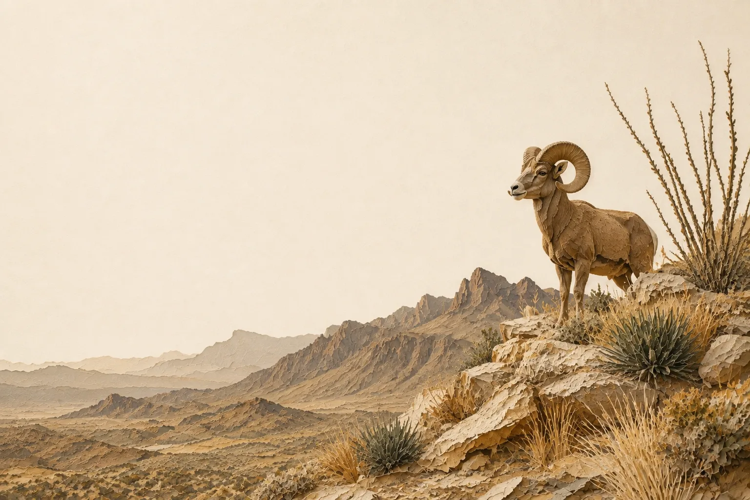
Desert mule deer are the marquee species across the Trans-Pecos, with pronghorn on the grassland flats; a single well-placed water development can anchor an entire year’s practice log in this country. Typical target species for Jeff Davis County plans include mule deer, pronghorn, desert bighorn sheep, scaled quail, Gambel’s quail, and golden eagles. The recurring habitat challenges - creosote and tarbush invasion of desert grasslands, scarce and declining surface water, and fence barriers to pronghorn movement - are what a good management plan turns into qualifying work.
On the ground in Jeff Davis County
Fort Davis sits high in a county where the Davis Mountains rise sharply out of Chihuahuan Desert grassland. Elevation changes everything: one tract may hold oak-juniper mountain cover and rocky springs, another open grassland or desert scrub. Wildlife management should follow that gradient through water protection, erosion work, careful grazing, native-grass recovery and preservation of mountain drainages or woodland cover. A Jeff Davis County plan can feel genuinely different from the surrounding Trans-Pecos because cooler, higher habitat supports a different mix of plants and wildlife.
Jeff Davis County reads as Trans-Pecos habitat on the ground, but TPWD assigns it to the Trans Pecos wildlife-use appraisal region for reduced-tract acreage rules - two different maps, and the legal one controls the numbers below.
Is there an acreage minimum in Jeff Davis County?
Did the tract get smaller since January 1 of last year?
There is no wildlife acreage test in Jeff Davis County at all. Whatever the size, file Comptroller Form 50‑129 with a PWD‑885 plan. A 7-acre tract that already carried 1‑d‑1 (ag exempt) and was never split can convert with no penalties.
The Jeff Davis County appraisal district has published its figure. The legal minimum land requirement is 50 acres (98%).
Source: Jeff Davis Appraisal District Agricultural Policies & Procedures, November 3, 2025.
See how Jeff Davis County compares: minimum acreage for all 254 Texas counties →
How it works here
Jeff Davis County follows the statewide 1-d-1 framework (Texas Tax Code §23.51(7)); the local variables are your appraisal district's filing habits and the Trans-Pecos intensity standards:
- Start from an existing ag or timber valuation. Wildlife management is a conversion of qualified open-space land - check eligibility if your status is unclear.
- File a wildlife management plan (TPWD form PWD‑885) with the Jeff Davis County appraisal district, attached to Comptroller Form 50‑129, between January 1 and April 30. What goes in the plan →
- Perform at least 3 of the 7 practices each year at Trans-Pecos intensity levels - see the local examples below.
- Document everything - dates, photos, quantities. When the chief appraiser requests an annual report (PWD‑888), you'll answer with records, not recollections.
- No minimum acreage applies unless your tract got smaller since January 1 of last year. If it did, Jeff Davis County's figure is covered above - the district picks one number for the whole county, and the plan is still the application either way.
The 7 practices, Trans-Pecos-style
These are the kinds of activities appraisal districts in the Trans-Pecos recognize as real management - your plan picks at least three. The Trans-Pecos region guide covers the species, habitat problems and intensity standards behind them.
