The wildlife exemption in Jim Hogg County
Jim Hogg County land qualifies for the same wildlife management valuation used across Texas - same statute, same forms - but the practices that succeed here are pure South Texas Plains. Get the regional details right and the tax side takes care of itself.
The South Texas Plains - the Brush Country - is a dense thornscrub of mesquite, blackbrush, and granjeno south of San Antonio, home to the most famous white-tailed deer genetics in America and the ranching culture that manages them. Wildlife management is a way of life here, and appraisal districts see some of the most sophisticated plans in the state.
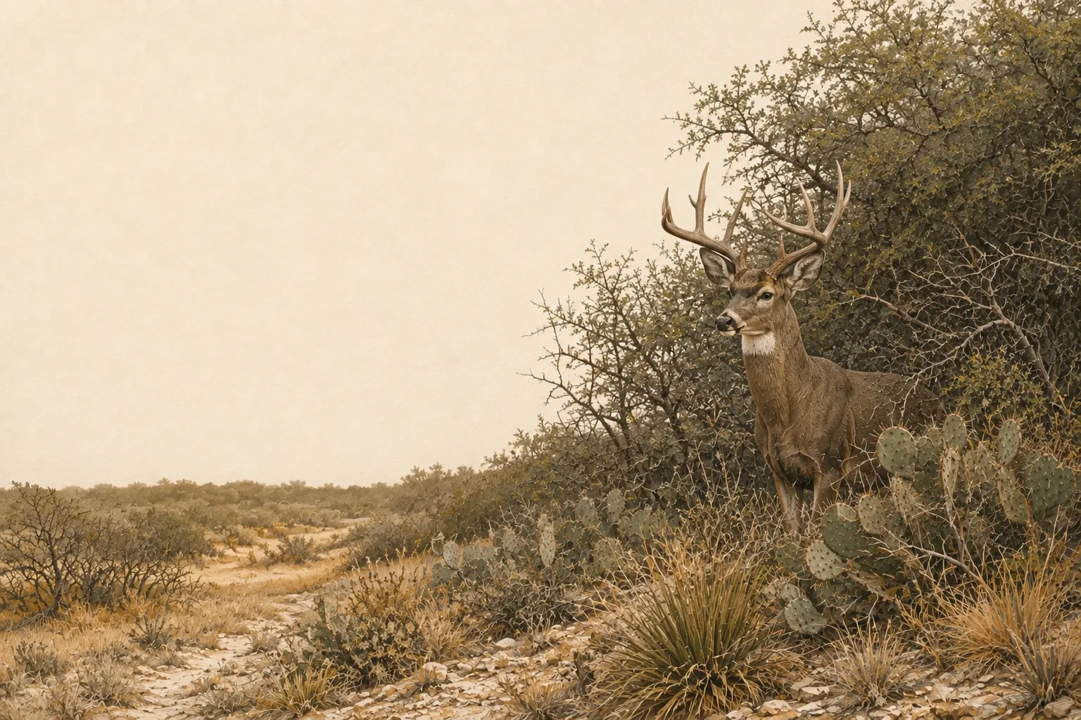
South Texas grows the biggest whitetails in the state on native thornscrub browse; strip-pattern brush management that keeps 40–60% canopy is the signature habitat practice of the region. Typical target species for Jim Hogg County plans include trophy white-tailed deer, bobwhite quail, Rio Grande turkey, javelina, chachalacas in the Valley, and ocelots in remnant thornscrub. The recurring habitat challenges - buffelgrass monocultures displacing native forage, drought cycles, and clearing that removes too much thermal cover - are what a good management plan turns into qualifying work.
On the ground in Jim Hogg County
Hebbronville is deep South Texas brush country: ranches, mesquite, thornscrub and long stretches without much urban interruption. On qualifying acreage, wildlife management can be straightforward but serious - shape brush into useful age and density classes, restore native grass in openings, maintain dependable water and keep repeatable deer or quail census records. What matters in Jim Hogg County is a plan that can feel like management of a real brush-country ranch, with habitat work spread across the property rather than concentrated around a feeder.
Jim Hogg County lies in the South Texas Plains and is assigned to TPWD's South Texas Plains wildlife-use appraisal region - the legal map that sets the reduced-tract acreage rule below.
Is there an acreage minimum in Jim Hogg County?
Did the tract get smaller since January 1 of last year?
There is no wildlife acreage test in Jim Hogg County at all. Whatever the size, file Comptroller Form 50‑129 with a PWD‑885 plan. A 7-acre tract that already carried 1‑d‑1 (ag exempt) and was never split can convert with no penalties.
The Jim Hogg County appraisal district has not published its exact figure. However, the legal minimum land requirement for this county in the South Texas Plains region is between 25–50 acres (96–98%). If your acreage is inside of this range, we recommend to file the plan either way; the county will apply whatever they adopted.
See how Jim Hogg County compares: minimum acreage for all 254 Texas counties →
How it works here
Jim Hogg County follows the statewide 1-d-1 framework (Texas Tax Code §23.51(7)); the local variables are your appraisal district's filing habits and the South Texas Plains intensity standards:
- Start from an existing ag or timber valuation. Wildlife management is a conversion of qualified open-space land - check eligibility if your status is unclear.
- File a wildlife management plan (TPWD form PWD‑885) with the Jim Hogg County appraisal district, attached to Comptroller Form 50‑129, between January 1 and April 30. What goes in the plan →
- Perform at least 3 of the 7 practices each year at South Texas Plains intensity levels - see the local examples below.
- Document everything - dates, photos, quantities. When the chief appraiser requests an annual report (PWD‑888), you'll answer with records, not recollections.
- No minimum acreage applies unless your tract got smaller since January 1 of last year. If it did, Jim Hogg County's figure is covered above - the district picks one number for the whole county, and the plan is still the application either way.
The 7 practices, South Texas Plains-style
These are the kinds of activities appraisal districts in the South Texas Plains recognize as real management - your plan picks at least three. The South Texas Plains region guide covers the species, habitat problems and intensity standards behind them.
